28 September, 2026 | 12:01 AM


El-Nino 2026 - Some Reflections
28-09-2026 12:00:00 AM
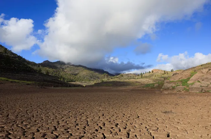
The strongest phase may still lie ahead, but for farmers the real question is no longer whether El Niño will arrive. It is how much rain, soil moisture and water will remain when the next crop season begins The phrase “Super El Niño” has become common in public discussion, but it is not a formal World Meteorological Organization classification. The WMO currently describes the 2026 event as a strong El Niño that is expected to intensify into a very strong event. Its September outlook projects a seasonal Niño-3.4 sea-surface temperature anomaly of about 3.6°C for September-November, with the event likely to strengthen toward November-December and persist into early 2027.
That makes comparisons with the notorious 1877-78 El Niño understandable, but the often-repeated claim that 2026 is the first comparable event in 125 years is misleading. Reconstructions suggest the 1877-78 episode was exceptionally strong, with one NOAA reconstruction producing a peak Niño-3 value of about 3.58°C. Yet the historical estimate carries much greater uncertainty than modern observations. Strong El Niño events also occurred in 1982-83, 1997-98, 2015-16 and 2023-24.
The consequences will vary by region. El Niño alters rainfall and temperature patterns rather than causing drought everywhere. FAO analysis of 41 years of satellite data shows agricultural-drought risks above 50% in parts of the Sahel, Southern Africa, South and Southeast Asia, Central America and the Caribbean. Other regions may face excessive rain and flooding. India is already preparing for agricultural impacts, with hundreds of districts identified for contingency planning, particularly low-rainfall and poorly irrigated areas. IMD’s 2026 forecast indicated below-normal monsoon rainfall, while deficits were reported in parts of Rayalaseema, coastal Andhra Pradesh and Karnataka.
For farmers, soil moisture matters more than seasonal rainfall totals. Higher temperatures and evaporation can rapidly dry root zones, affecting germination, nutrient uptake and crop growth. Prolonged stress during flowering or grain formation can sharply reduce yields. Poor rainfall could also reduce reservoir inflows and groundwater recharge, affecting Rabi crops, livestock, fodder and drinking water.
A special concern for Andhra and Telangana
The two Telugu states require a more nuanced assessment. Rayalaseema and interior districts of Andhra Pradesh are vulnerable to rainfall deficits and heat, particularly in rainfed groundnut, pulses and other dryland systems. Kurnool has already been selected for an ICAR-NAARM El Niño contingency-plan implementation programme, with scientists explicitly focusing on agricultural and socioeconomic protection for farmers.
Telangana’s dryland agriculture is similarly exposed. ICAR-CRIDA has conducted programmes covering soil-health management, farm ponds, water management, contingency cropping and livestock care. Andhra Pradesh has an added climatic factor: the October-December Northeast Monsoon can partly offset a weak southwest monsoon in southern peninsular India. The retreating monsoon will therefore be crucial for soil moisture, reservoirs and Rabi sowing.
The economic impact could extend beyond farms. Lower yields can reduce incomes, while higher pumping, re-sowing and input costs may deepen debt. Fewer farm operations can also reduce workdays for landless labourers, while shortages may push up food and animal-feed prices.
India’s food stocks, procurement, irrigation and public distribution systems provide buffers, but cannot eliminate local hardship. The priority should be preparation: conserve water, protect soil moisture, use suitable drought-tolerant crops, maintain fodder reserves, monitor reservoirs and provide timely district-specific advisories.

(Dr. Srinivasan Ancha is Part-time Advisor to the Asian Development Bank (ADB), and Senior Fellow, Institute for Global Environmental Strategies, Japan)