GHMC to digitally map storm drains for better flood control
15-08-2025 12:00:00 AM
Metro India News | Hyderabad
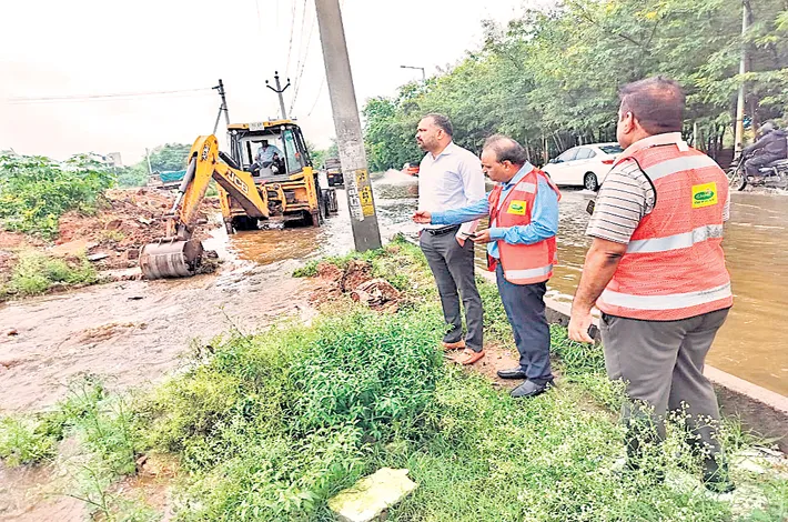
In a major step toward improving flood resilience, the Greater Hyderabad Municipal Corporation (GHMC) has initiated a comprehensive GIS-based mapping of stormwater drains across the city. The project aims to digitally chart the entire drainage network using high-precision drone surveys and Geographic Information System (GIS) technology.
GHMC Commissioner RV Karnan explained that the initiative will record the exact location, dimensions, and connectivity of drain lines, culverts, and catch pits, all linked to geospatial coordinates. This data will feed into a master plan designed to model flow patterns, simulate rainfall impacts, and identify flood-prone zones.
The mapping will support smarter infrastructure planning, enhance emergency response during heavy rains, and integrate with smart city water management systems for real-time monitoring. Officials said the visual maps generated will also be shared with local communities to raise awareness and encourage public participation in reporting drainage issues. The project is expected to significantly improve the city’s preparedness for extreme weather events and streamline future upgrades to its stormwater infrastructure.