NASA, Indian Space Agency Unite for Earth Mission
19-07-2025 12:00:00 AM
Several ISRO centers are instrumental to the mission
■ The Space Applications Centre developed the S-band radar system.
■ The U R Rao Satellite Centre provided the satellite bus.
■ The Vikram Sarabhai Space Centre is responsible for the launch vehicle.
■ The Satish Dhawan Space Centre will handle launch operations.
■ The ISRO Telemetry Tracking and Command Network (ISTRAC) will manage satellite mission control.
■ The National Remote Sensing Centre (NRSC) will handle reception and dissemination of data from the S-band radar.
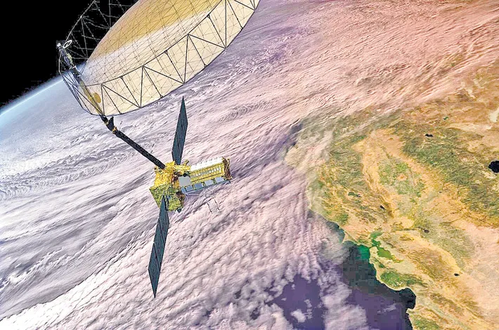
The upcoming launch of the NASA-ISRO Synthetic Aperture Radar (NISAR) satellite marks a major milestone in Indo-US space collaboration, with India playing a central role in delivering one of the most advanced Earth-observing satellites ever developed.
Developed jointly by NASA and the Indian Space Research Organisation (ISRO), NISAR will provide a dynamic, three-dimensional view of Earth in unprecedented detail, helping scientists monitor natural disasters, track changes in land and ice surfaces, and support climate resilience efforts around the globe.
The NISAR mission is scheduled to lift off from ISRO’s Satish Dhawan Space Centre in Sriharikota, on India’s southeastern coast, no earlier than late July. The satellite will be launched aboard an Indian rocket, with key spacecraft systems, ground support, and mission operations contributed by multiple Indian institutions. Ahead of the launch, NASA will host a news conference at 12 p.m. EDT (9:30 p.m. IST) on Monday, July 21, to provide mission updates. The briefing will be streamed live on NASA’s X, Facebook, and YouTube channels.
A Showcase of Indian Technical Excellence
NISAR is equipped with dual-frequency synthetic aperture radar systems — an S-band radar developed by ISRO and an L-band radar provided by NASA — enabling the satellite to detect even centimeter-level changes in Earth's surface, including earthquakes, landslides, and glacier movements.
Empowering Communities with Indian Technology
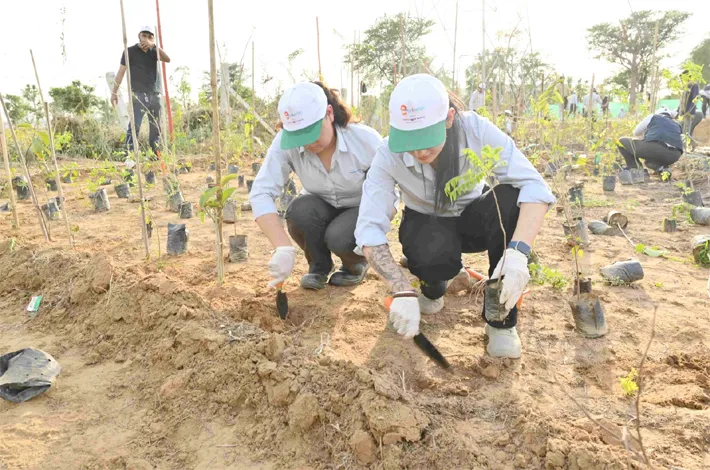
By penetrating cloud cover and vegetation, NISAR will provide consistent, high-resolution data to monitor agriculture, urban development, forest health, and disaster zones — critical for India's national planning and resilience building. Its capabilities will also aid emergency response during floods, cyclones, and other extreme weather events. This pioneering mission represents a strategic leap in India’s role in global Earth science and underscores the nation's growing leadership in high-impact space technology.